-
by VPSO Team
- October 11, 2026
- 0 Comments
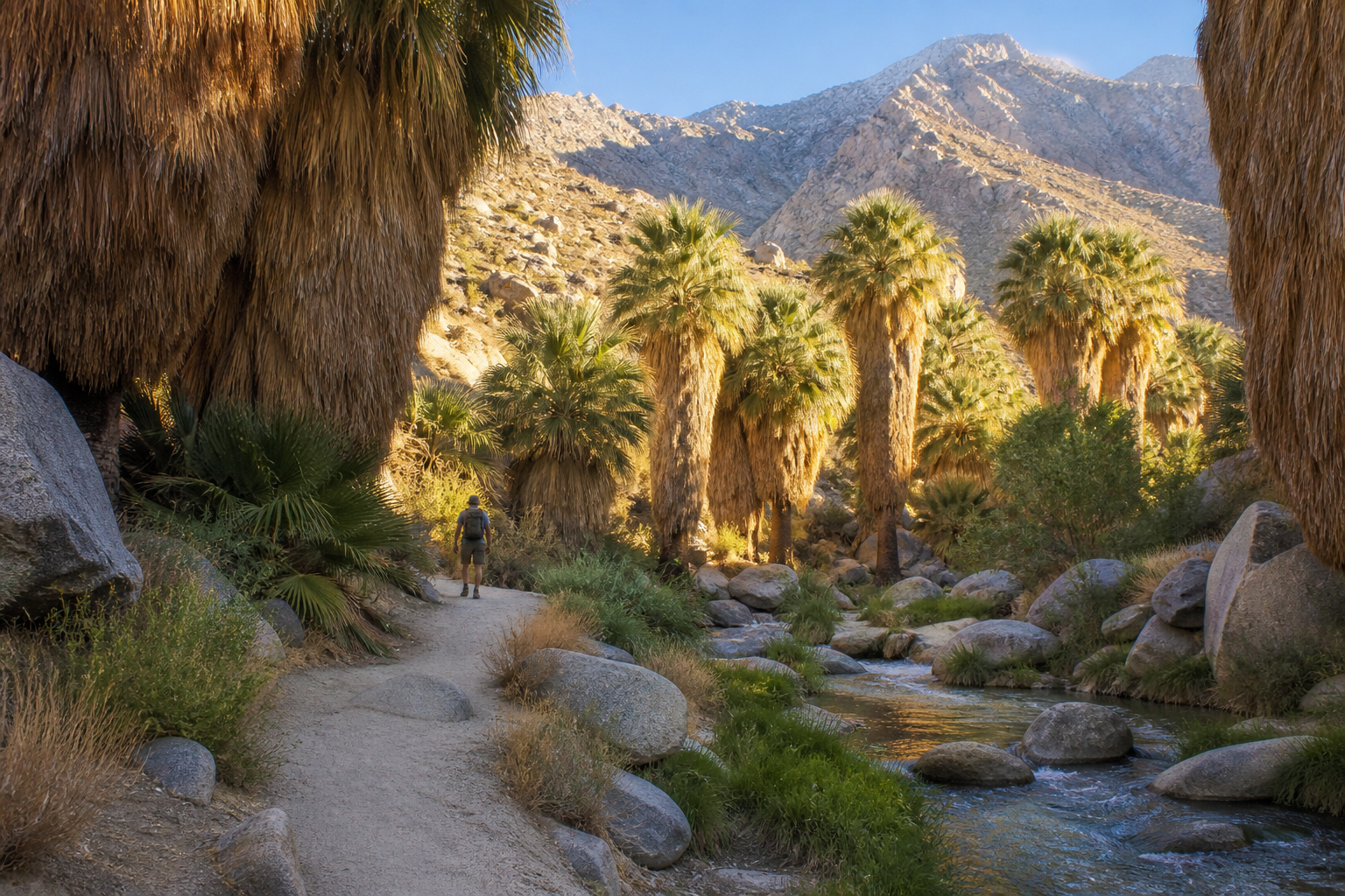
October flips the switch. After a summer when no one sane hikes at noon, the desert trails around Palm Springs open back up, and they’re some of the most dramatic in California: palm oases, waterfalls, valley views and one of the biggest elevation gains of any day hike in the country. Here they are, ranked from an easy stroll to genuinely brutal.
Checked October 2026. Fees and hours can change, and trail stats vary by route, so we give ranges where sources disagree.
Before you go: the desert rules
- Start early. Even in fall, exposed trails heat up fast. Aim to be done by late morning.
- Carry more water than you think: at least one quart per hiking hour, and turn around when half is gone.
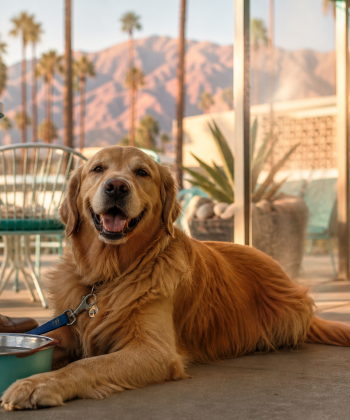
- No dogs on most Palm Springs mountain trails (they protect Peninsular bighorn sheep) or in Indian Canyons and Tahquitz. Whitewater Preserve is the leash-friendly exception.
- Creeks and waterfalls are seasonal and not drinking water.
Easy
1. Andreas Canyon
The best first hike in Palm Springs. Andreas Canyon is a 1–1.2 mile loop with about 150–200 feet of gain through a lush fan-palm oasis along a year-round creek, past rock formations and ancient bedrock mortars. Plan 30–60 minutes. It’s inside Indian Canyons: adults $12, open daily 8 a.m.–5 p.m. from Oct 2 to July 5 (last car in at 4 p.m.).
2. Palm Canyon (lower section)
From the Trading Post, the lower Palm Canyon Trail is about 2 miles out and back with roughly 240 feet of gain, through one of the biggest palm oases in the region. Same Indian Canyons ticket. The full trail runs 15+ miles to Highway 74, so don’t confuse the two.
Moderate
3. Whitewater Preserve: Canyon View Loop
About 30 minutes northwest of town, Whitewater Preserve has a 3.5-mile loop that crosses the river, follows a stretch of the Pacific Crest Trail and climbs to canyon views. It’s free, open 8 a.m.–5 p.m. daily, and dogs on leash are welcome. There’s no cell service, and storms can close it.
4. Tahquitz Canyon
Short but officially strenuous: Tahquitz Canyon is a 1.8-mile loop with 350 feet of gain and rock steps up to 15 inches high, ending at a seasonal 60-foot waterfall. Adults $15. Open daily 7:30 a.m.–5 p.m. from Oct 1 to July 4, with the last hiker out at 3:30 p.m. There’s very little shade and no water on the trail.
5. North Lykken (Ramon Road to the overlook)
From the end of Ramon Road, North Lykken climbs about 850 feet in 1.5–1.8 miles to the Desert Riders picnic overlook, with huge views over town. Plan 3–3.6 miles round trip and 1.5–3 hours. Free, mostly exposed, with dirt-lot parking. Don’t block driveways.
6. Murray Canyon to Seven Sisters Falls
The best payoff in Indian Canyons. Murray Canyon runs 4–4.7 miles round trip with roughly 550–600 feet of gain, past creek crossings and a rocky scramble to a seasonal tiered waterfall. Plan 2–3 hours, and come in winter or spring for the best flow.
Hard
7. Museum Trail
Starting behind the Palm Springs Art Museum, the Museum Trail gains 830–870 feet in under a mile. It’s steep, sunny and a fantastic workout, ending at picnic tables with valley views. You can link it to North Lykken if you arrange a ride back.
8. Araby Trail
The Araby Trail climbs 930–1,360 feet over 3.4–4.2 miles round trip, with eye-level views of Bob Hope’s Lautner-designed house. There’s no shade and parking is tiny, so stay off private roads.
9. Bump and Grind (Palm Desert)
The valley’s favorite sweat session. The Bump and Grind loop is 3–4 miles with 740–1,100 feet of gain from the Painter’s Path trailhead behind Desert Crossing. It’s free, has no shade and allows no dogs, and you’ll sometimes spot bighorn sheep.
10. La Quinta Cove to Bear Creek Oasis
From the Cove Oasis trailhead in La Quinta (where there’s a water fountain and picnic tables), the Bear Creek Canyon route runs 8.3–9.3 miles round trip with 2,200–2,300 feet of gain. It’s long, rocky and exposed: a dawn-only hike. See our La Quinta Cove Trail listing for the trailhead.
Brutal
11. Mount San Jacinto from the Tram
Ride the Palm Springs Aerial Tramway to 8,516 feet and hike in the pines of Mount San Jacinto State Park. Round Valley is about 5 miles round trip with 600 feet of gain. The 10,834-foot summit is 11–12 miles round trip with 2,300–2,500 feet of gain and takes 6–10 hours. A free wilderness day permit is required past the ranger station. Tram tickets are $36.95 for adults, plus $15 parking. Watch the last tram down, and expect snow and ice in winter.
12. Cactus to Clouds
The legend. Cactus to Clouds climbs from the Art Museum to the Tram’s Mountain Station, about 10 miles and 8,000+ feet of gain. Continuing to the summit makes it roughly 21 miles and over 10,000 feet. There’s little shade, no reliable water and confusing tread, and it has a long record of rescues. State Parks closed the route in summer 2024 after repeated heat rescues. Only attempt it in cool fall or spring weather, with a partner, a turnaround time, a gallon or more of water and real navigation gear.
After the hike
Refuel downtown, or grab a mountaintop meal at Peaks Restaurant if you rode the Tram. See every trail in our hiking directory.
Get This Weekend in Palm Springs
Every Thursday: the best events, new spots and local picks for your weekend. Free, no spam.